High frequency (HF) oceanographic radar systems measure the speed and direction of ocean surface currents in near real time. Our research group at UCSB operates an network of high frequency radar systems along the California coastline from Pt. Dume in the Southern California Bight to Pt. Sal on the central California coast. The network is part of the Surface Current Mapping System of the Southern California Coastal Ocean Observing System (SCCOOS; www.sccoos.org) and is funded by NOAA as part its Integrated Ocean Observing System (IOOS).
Near real time surface currents from the SCCOOS mapping system are available at http://www.sccoos.org/data/hfrnet/
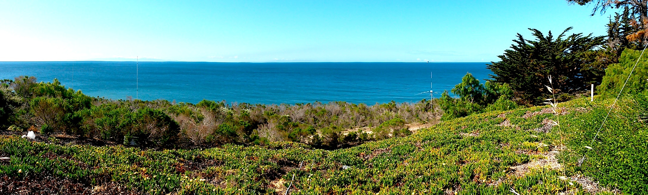
Oceanographic HF radars can map ocean surface currents over wide areas with high spatial and temporal resolution. The UCSB systems provide coverage up to 100 km from shore. These observations help oceanograhers understand air-sea interaction, coastal circulation, tidal flows, and related ecological processes. Surface currents from the SCCOOS HF radar network are available in real time and are incorporated into search and rescue operations conducted by the US Coast Guard. These systems can also be used to direct toxic-spill mitigation activities and to understand movement movement of oil spills and floating debris.