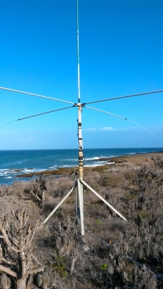
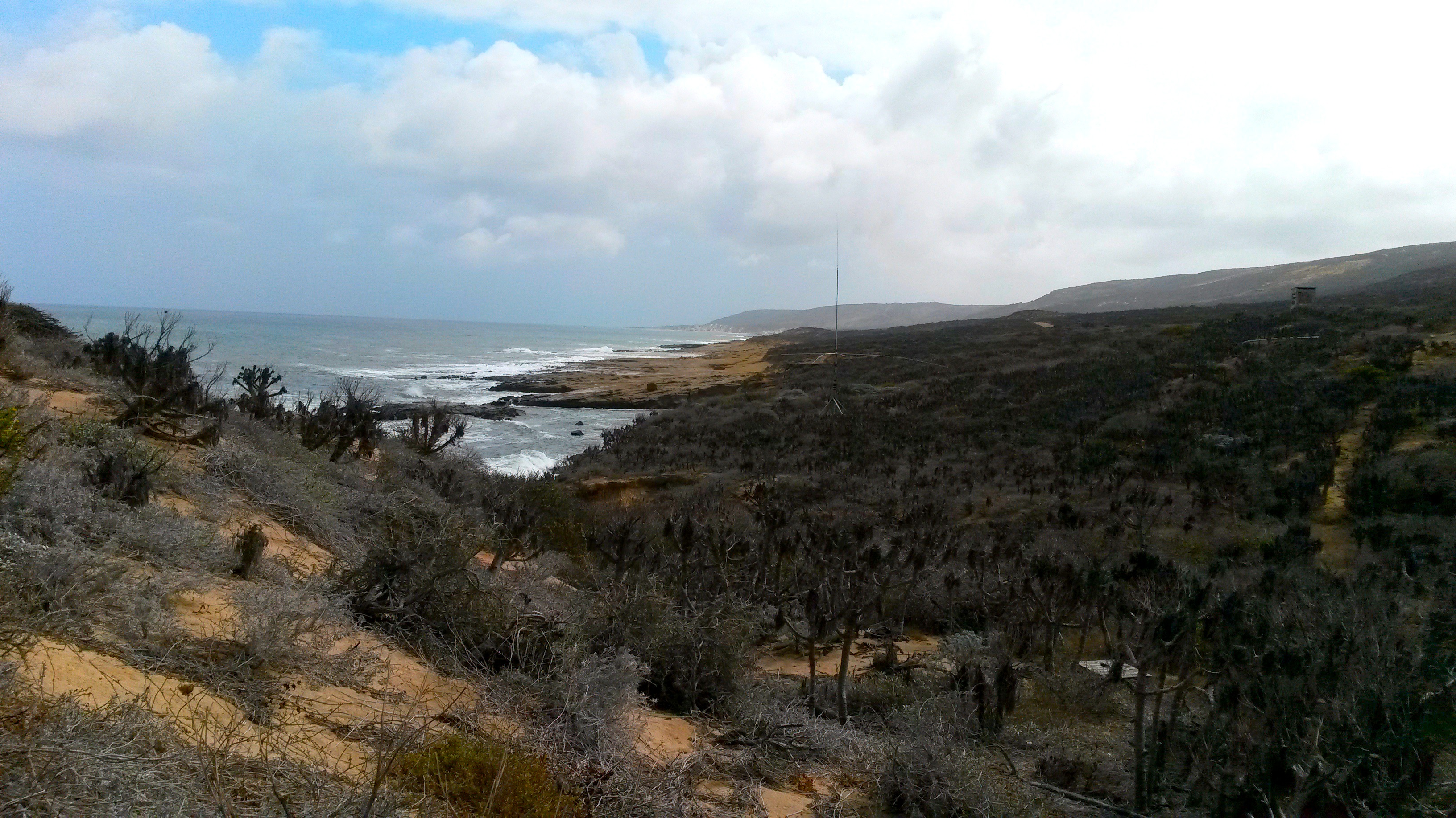
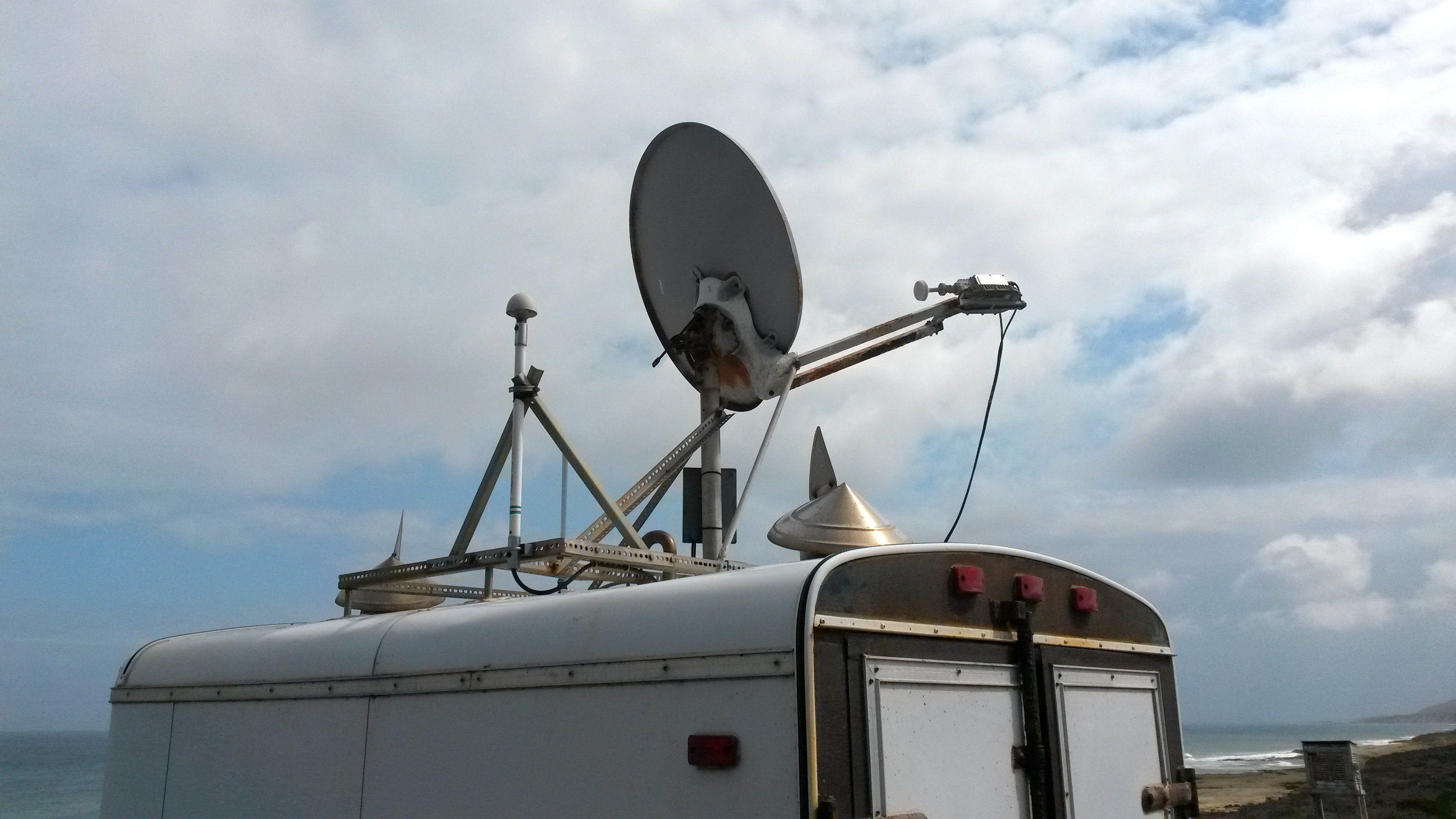
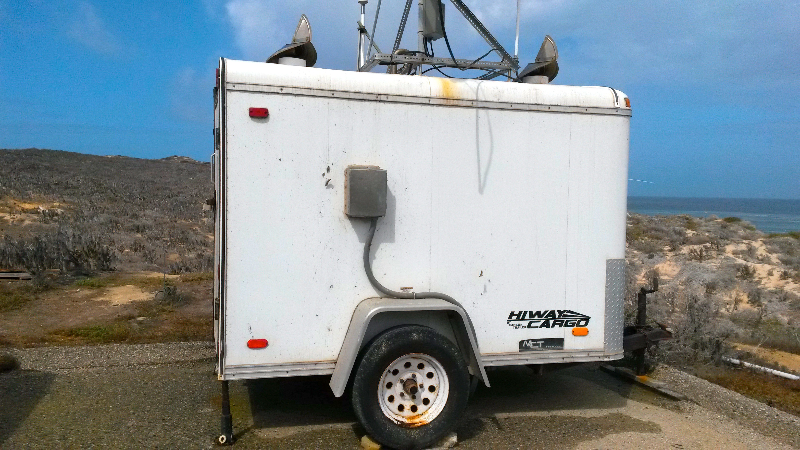
University of California, Santa Barbara

  • Home
  • About
  • Research
  • Publications
  • Drones
  • People
  • Join the Lab
  • Resources
  • Login

Washburn Lab

You are here

  1. Home
  2. »Research
  3. »HF Radar For Measuring Surface Currents
  4. »San Nicolas Island - SNI1

San Nicolas Island - SNI1

Prev Next

Site Data

National HF RADAR status page

http://cordc.ucsd.edu/projects/mapping/stats/?sta=SNI1&aff=UCSB

SNI1

 
SITE AFFILIATION UCSB
SITE NUMBER SNI1
LATITUDE 34.16°N
LONGITUDE 119.31°W
TYPE OF SITE Standard
HF RADAR FREQUENCY 13.439646 MHz
TRANSMIT BANDWIDTH 100 kHz
RANGE RESOLUTION 88 km
GPS SYNCHRONIZATION YES


http://www.cnic.navy.mil/

Research

  • NSF REU: Summer 2019
  • HF Radar For Measuring Surface Currents
    • RFG1
    • COP1
    • SSD1
    • SCI1
    • SNI1
    • PTM1
    • MGS1
    • PTC1
    • ARG1
    • AGL1
    • NIC1
    • Mobile HF Radar Trailer
    • Autonomous Antenna Pattern Measurement
  • Wind Relaxations and Coastal Circulation
  • Aerial drones for coastal oceanographic research
  • MSI Wave Pressure Logger
  • Ships of Opportunity
  • Autonomous Boogie Board


Washburn Lab
Marine Science Institute
University of California, Santa Barbara
Santa Barbara, CA 93106-6150
t 805.893.8480

Copyright © The Regents of the University of California. All Rights Reserved.
Terms of Use | Accessibility | Webmaster

Map and Directions